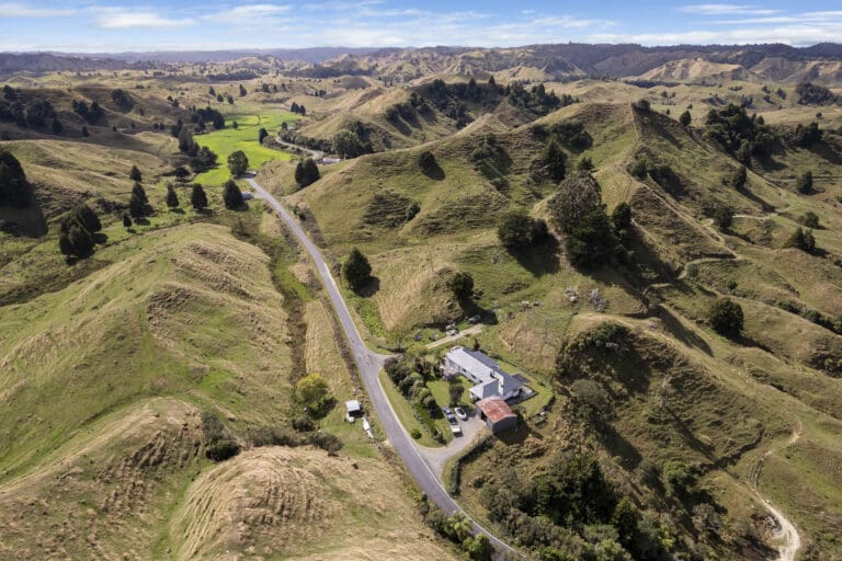
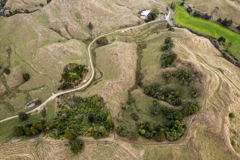
Much of the eastern hill country falls within the catchment of the Patea River and its tributaries. However, to the north the district takes in Waitara River and its tributaries, including the Makara, Makino, Matau, Mangapapa and Mangaowata catchments. At its northernmost point the district also includes the Mt Damper Stream and its associated swamp and falls, which feed into the Tongaporutu River.
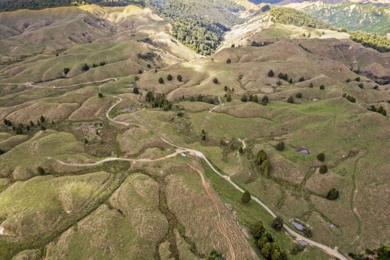
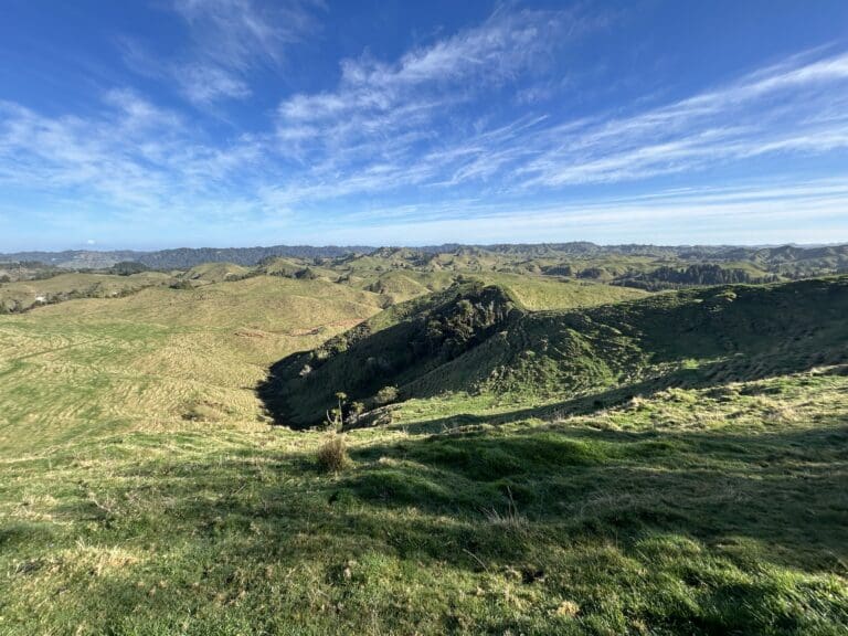
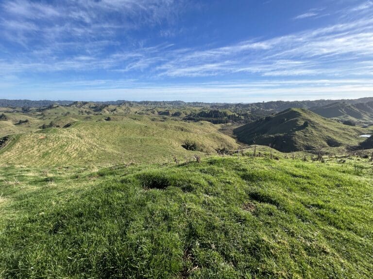
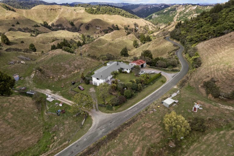
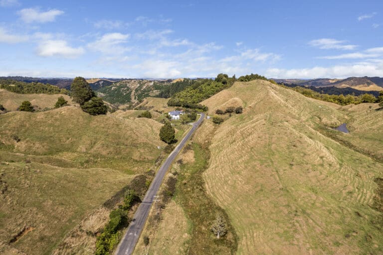
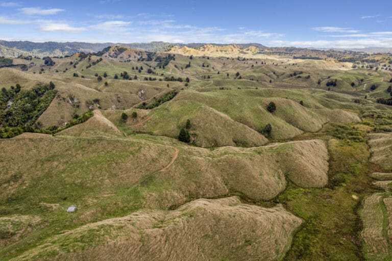
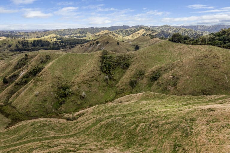
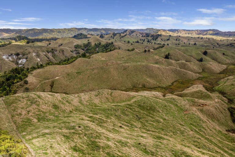
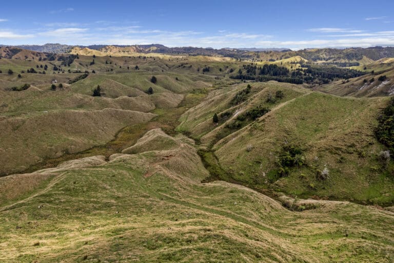
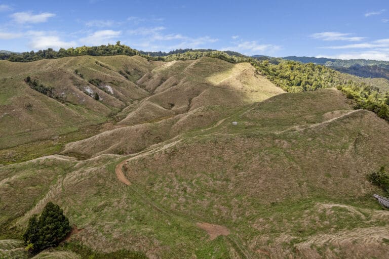
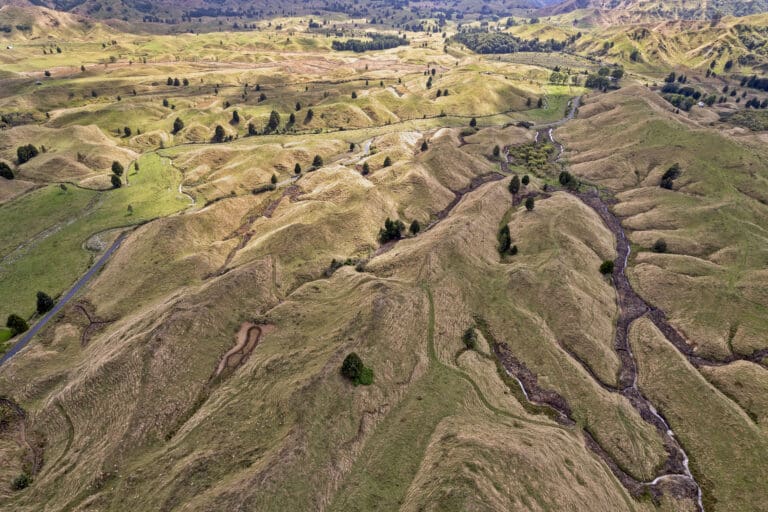
In the east the district takes in the Whangamōmona River catchment, and also most of the Tangarakau River catchment, both of which feed into the Whanganui River. This area is separated from the west by the densely forested Whangamōmona Saddle, making it an isolated and distinctive part of the district, and the area once had its own county council.
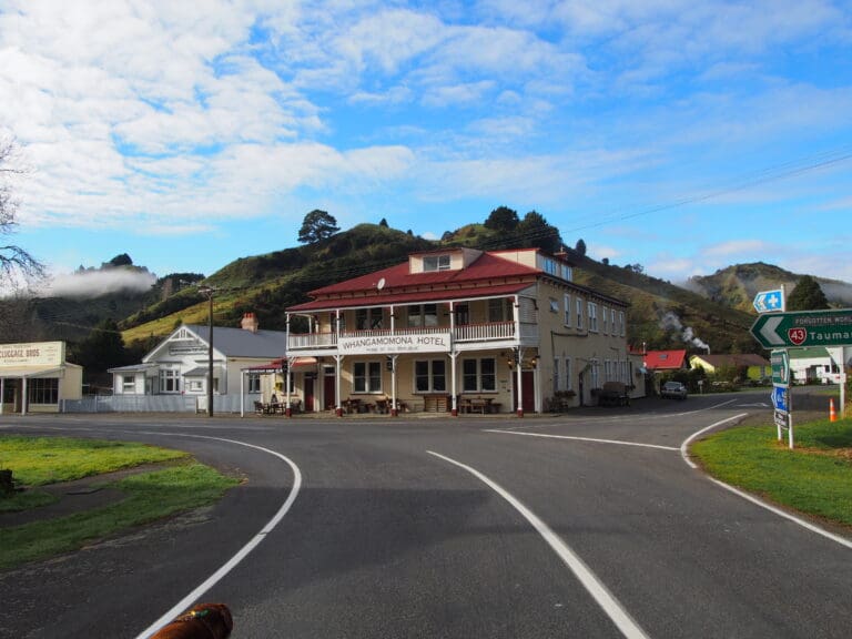
In 1989 regional council boundaries were redrawn, with an emphasis on connected catchments. These revised maps made Whangamōmona part of the Manawatu-Wanganui Region. Residents objected, as they wanted to continue being part of the Taranaki Region, and on 1 November 1989, they responded by declaring themselves the “Republic of Whangamōmona” at the first Republic Day. Though the move began as a pointed protest, the town continued to hold a celebratory Republic Day once a year, during which a vote for President is held. The day has become a local festival day, and attracts visitors from throughout the North Island. In 2001, the celebration became biennial, held in January to take advantage of the summer weather.
History: The first settlers arrived in 1895, with the town proper established some 2 years later. Growth of the town was seriously affected by the loss of 51 men (including the smaller nearby settlements of Kohuratahi and Tahora) in the First World War and a major flood in 1924. The town recovered with arrival of the railway line in 1933 and electrification in 1959. However the town went into decline again and the school closed in 1979, followed 9 years later by the post office.
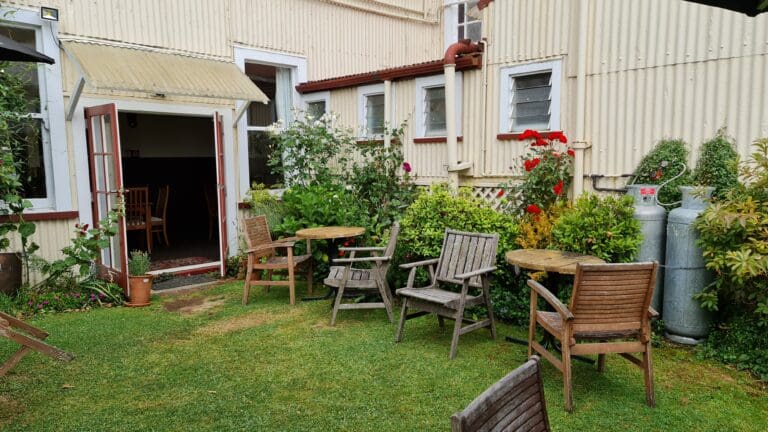
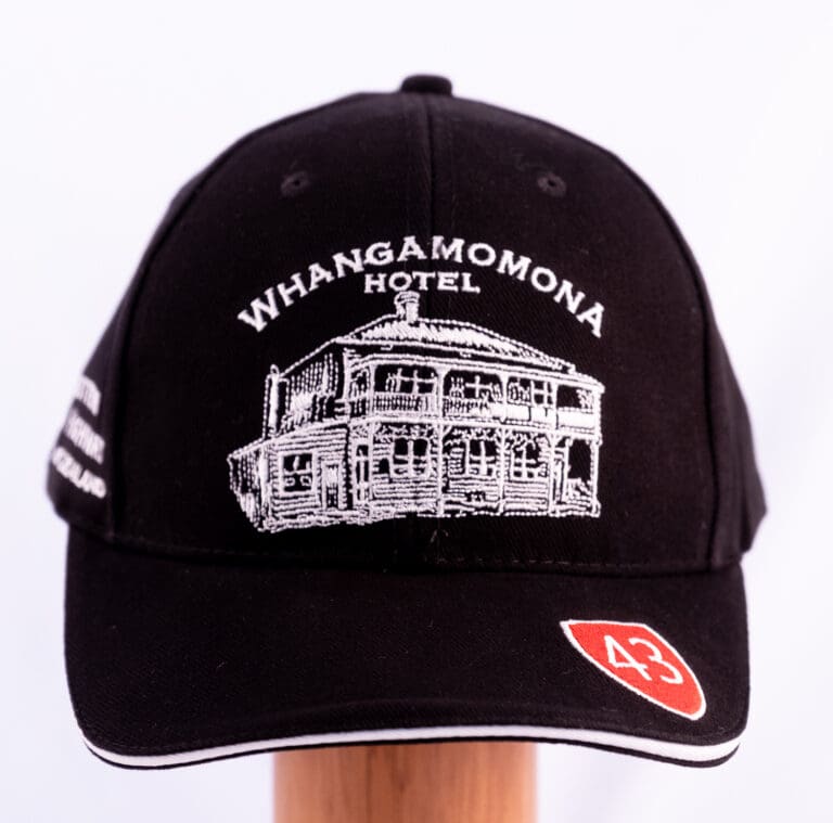
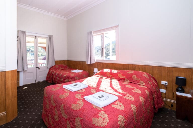
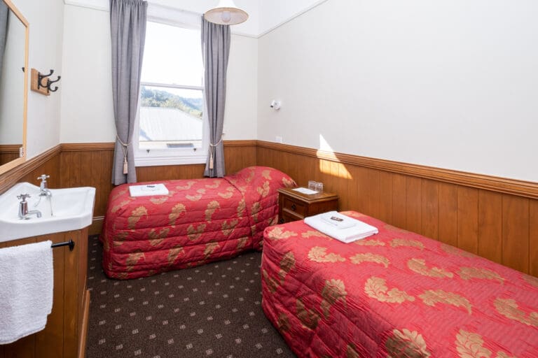
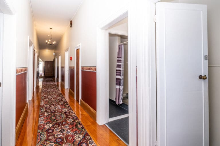
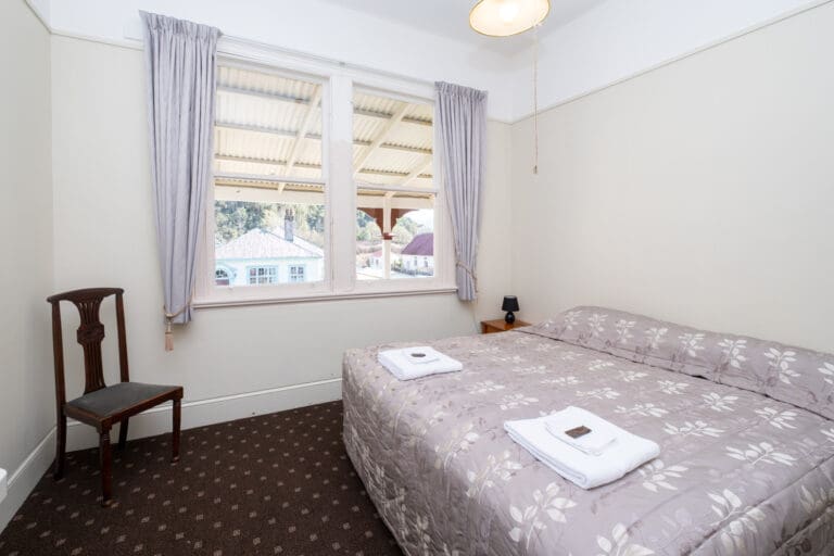
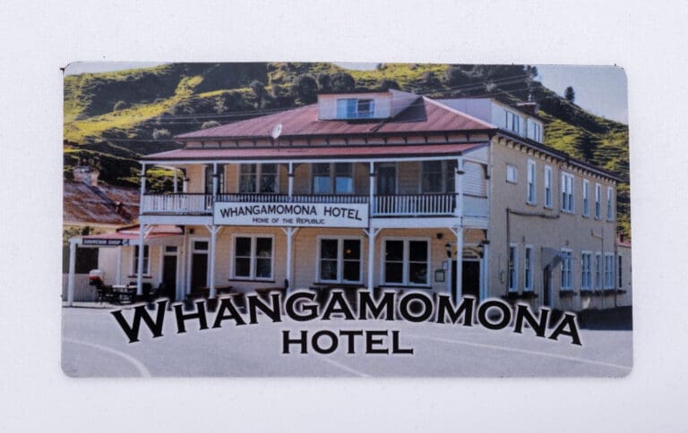
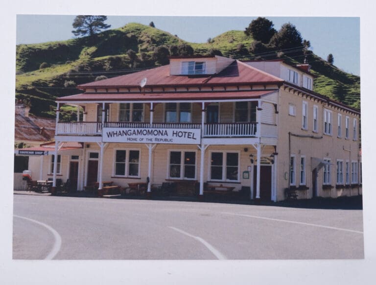
Sections became available at Whangamōmona in 1897–98. A boarding house and a general store were established and a post office and other services followed. The present hotel is a 1911 replacement of the original, which burned down in 1905.
The Whangamōmona County Council was set up in 1908. In 1955 it amalgamated with Stratford County. In the second half of the 20th century all the communities in the valley gradually declined. The school was closed in 1979 and the post office in 1988.